
The Busija picnic area on Majevica sits at about 840 metres among pine and beech forest, springs and a viewpoint.
⛰️ Mountain adventure
Majevica Mountain
Majevica is a long mountain in northeastern Bosnia, linking the stories of several towns.
Find it on the map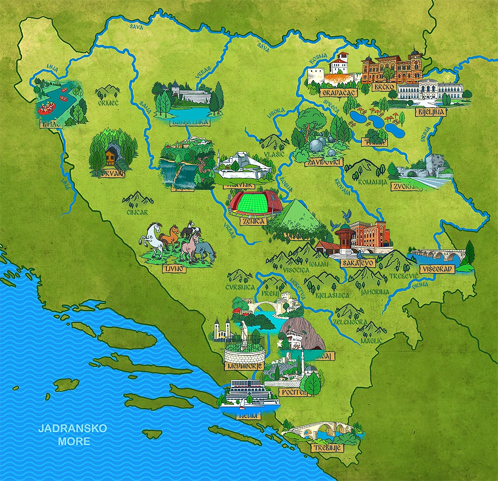

⛰️ Mountain field notes
Landscape and location
Majevica is a long, rounded mountain in northeastern Bosnia, with Tuzla, Ugljevik, Lopare and other communities along its slopes. Forests, springs and viewpoints line its ridge.
What can you do here?
Hiking, cycling and day trips follow beech-forest trails to viewpoints and caves.
✨ Little discoveries
Stories from the mountain
Hiking routes link the lodge at Crvena Stijena with Novak’s Cave, Tavna Monastery and Skakavac Waterfall.
Sources: Tourist Organization of Republika Srpska: Mount Majevica · Tourist Organization of Republika Srpska: Viva Natura picnic area · Klix.ba: Majevica species and habitat survey
A tiny explorer challenge
How many towns near Majevica can you find on the map?
📍 Keep exploring
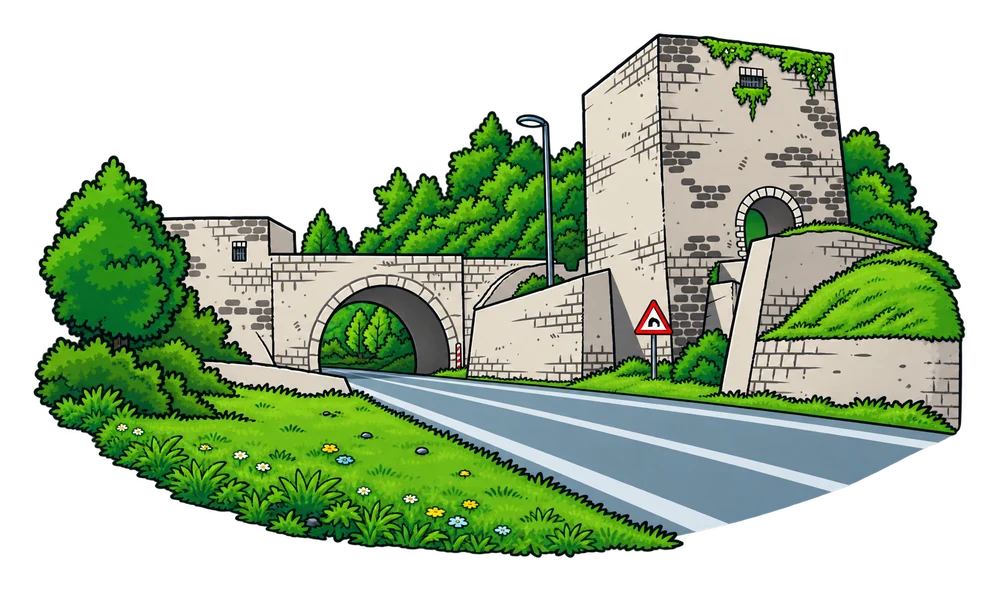
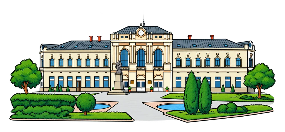
Places near Majevica Mountain
Open a city page to discover its landmarks, facts and books.


Want another discovery?
Browse all Mountains and hills Back to the map