Animals nearby
Otters, frogs and small mammals live by the river and fields; wetland birds feed nearby.

River adventure
Tinja is a river in northeastern Bosnia connected with the area around Gradačac and Brčko.
Find it on the map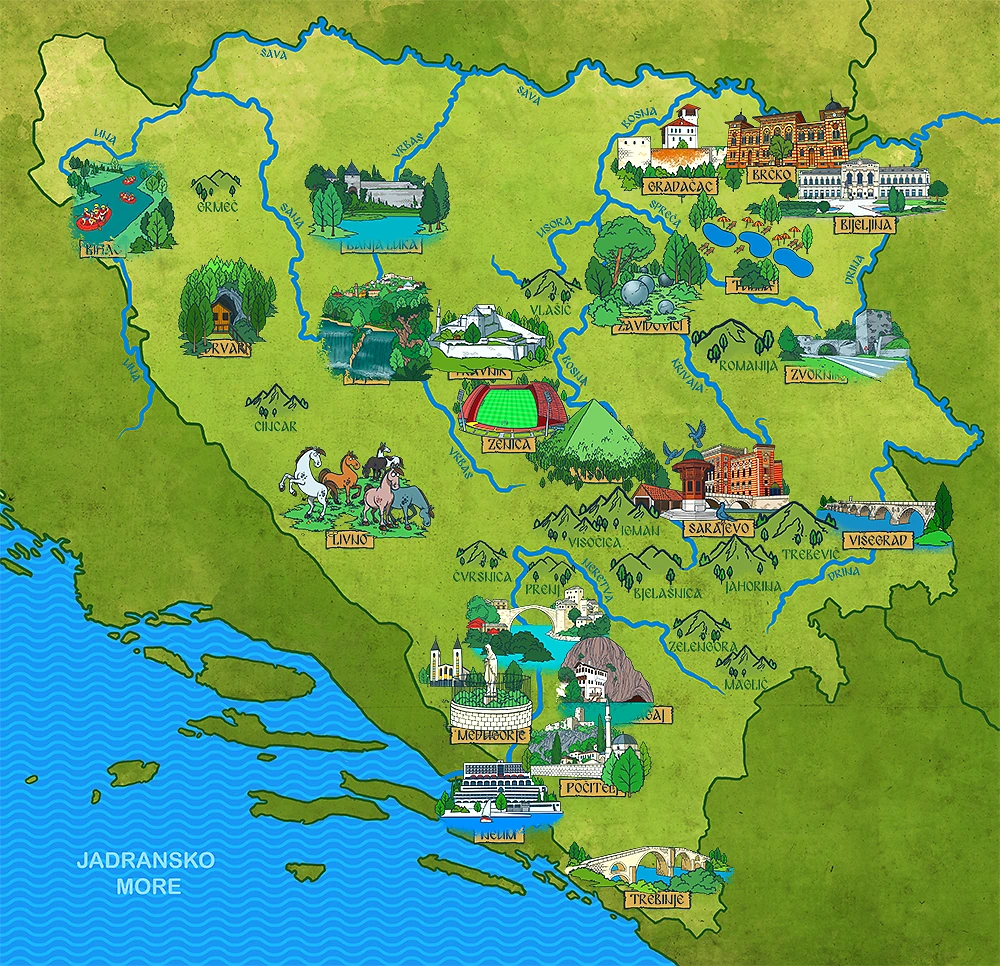
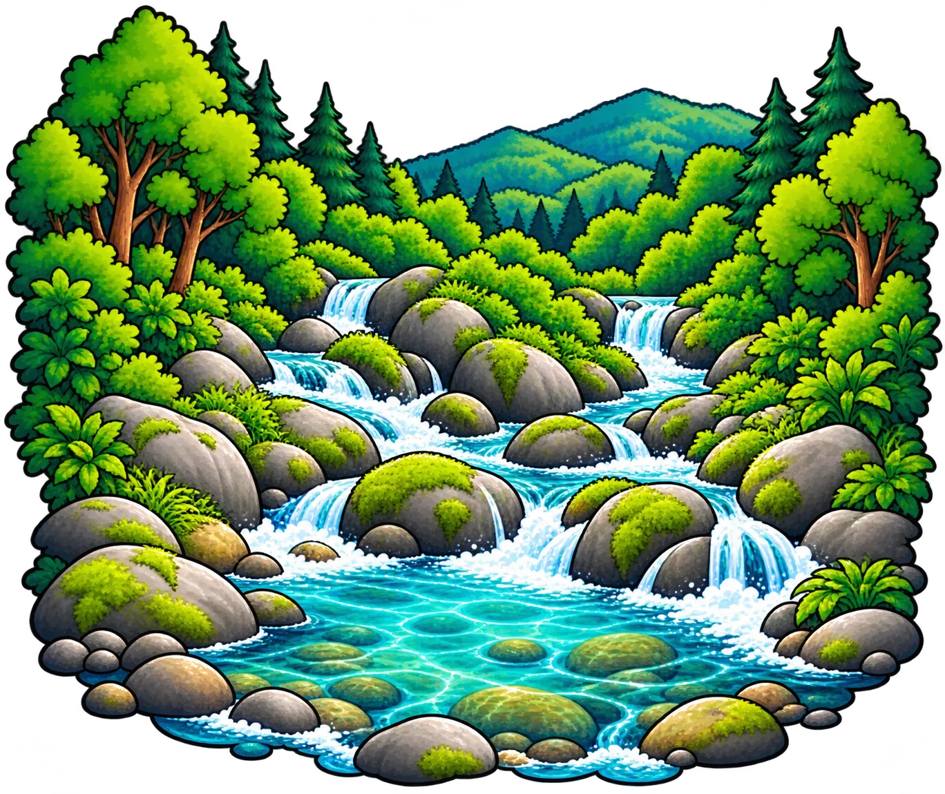
💧 Where the river begins
The Tinja rises beneath Majevica’s northern slopes near Čelić. Small mountain streams meet and flow through northeastern Bosnia.
🗺️ Follow the water
Čelić → Srebrenik → Gradačac → Brčko → the Sava near Gorice.
🐟 A living river
These are examples from the river and its wider basin; species can differ from one stretch to another.
Otters, frogs and small mammals live by the river and fields; wetland birds feed nearby.
Chub, barbel and nase live in flowing stretches; carp occur in slower water.
White storks, grey herons and kingfishers use banks and nearby fields.
✨ Little discoveries
Across the plain, the Tinja meanders instead of rushing straight like a mountain stream.
📚 Read and explore
The book mentions the Tinja during a journey through northeastern Bosnia.
Sources: Spatial Development Strategy of Brčko District · Sava River Basin Agency: hydrological analyses
A tiny explorer challenge
📍 Keep exploring
Open a city page to discover its landmarks, facts and books.
Want another discovery?
Browse all Rivers Back to the map