
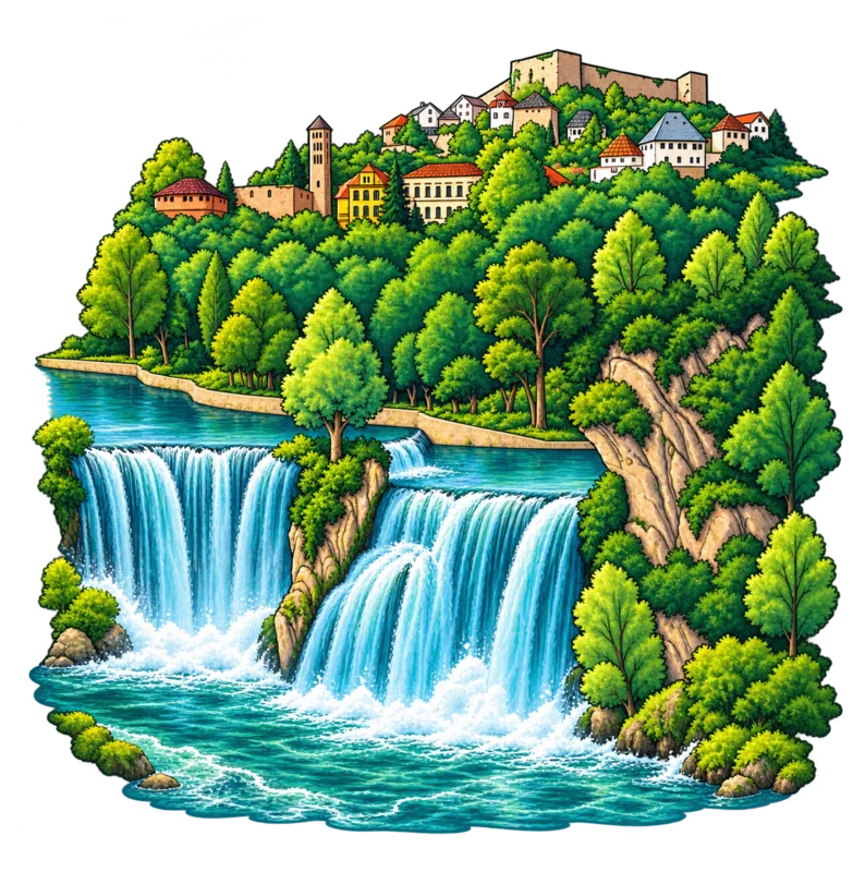
The Pliva Waterfall is about 20 metres high - almost as tall as a six-storey building!
📍 Central Bosnia
Jajce
Pliva Waterfall
In Jajce, the Pliva tumbles over a waterfall and joins the Vrbas near the old town. The blue water dropping between green banks makes this town easy to recognize. Look for the waterfall in the central part of the map.
Find it on the map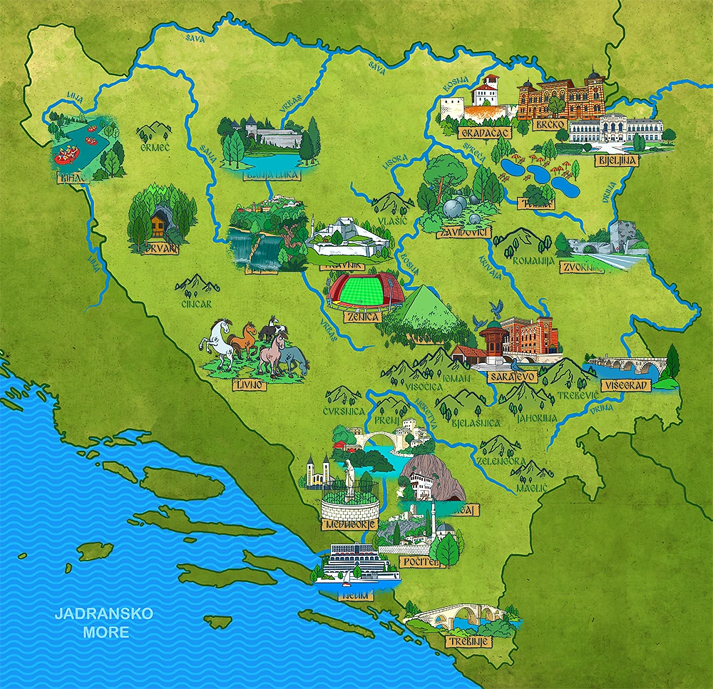
✨ Little discoveries
Fun facts about Jajce
The waterfall is said to have formed about 50,000 years ago. It was here long before people built the town of Jajce!
The wooden watermills at the Pliva Lakes show what life was like more than 400 years ago. Water once turned their wheels to grind grain.
Below the waterfall, the Pliva joins the Vrbas. Together they continue toward the Sava. Can you follow their route on the map?
⛰️ Nature nearby
Rivers, mountains and hills near Jajce
Rivers
 Vrbas River
 Pliva River
Mountains and hills
 Ranča Mountain
 Vitorog Mountain
Sources: City of Jajce - Tourism · Jajce Tourist Guide - What to Visit
📚 Read and explore
Explore this city in our books:
📚 From the ABC Djeca blog