
Velika Manjača is 1,239 metres high.
⛰️ Mountain adventure
Manjača Mountain
Manjača is a mountain area southwest of Banja Luka, known for its green plateaus.
Find it on the map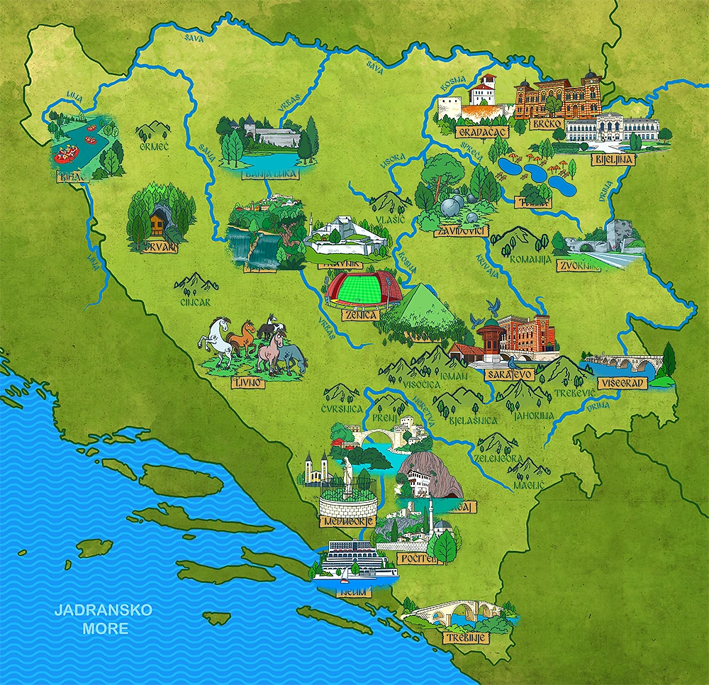

⛰️ Mountain field notes
Landscape and location
Manjača is a Dinaric mountain about 25 kilometres south of Banja Luka. Karst pastures, forests and rock formations alternate across its plateau between the areas of Banja Luka, Mrkonjić Grad and Ribnik.
What can you do here?
Visitors can explore the plateau, walking paths and Dinaric karst landscape. Caves and pits should only be visited with expert guidance.
✨ Little discoveries
Stories from the mountain
The limestone and dolomite contain many caves and pits; one of the pits descends about 302 metres underground.
Sources: Tourist Organization of Republika Srpska: Manjača
A tiny explorer challenge
Follow the map southwest from Banja Luka.
📍 Keep exploring
Places near Manjača Mountain
Open a city page to discover its landmarks, facts and books.
Want another discovery?
Browse all Mountains and hills Back to the map