Animals nearby
Otters use the riverbanks; forests shelter roe deer, foxes and other wildlife.

River adventure
The Vrbanja joins the Vrbas in Banja Luka - two rivers meet right by the city.
Find it on the map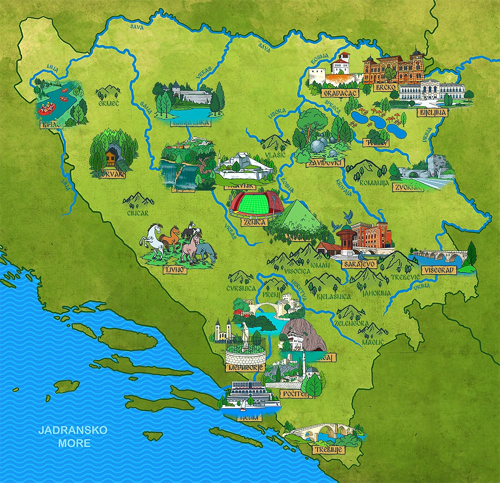

💧 Where the river begins
The Vrbanja rises below Vlašić near the village of Vrbanja, at about 1,520 metres above sea level. Mountain meadows and forests surround the source.
🗺️ Follow the water
Vlašić → Šiprage → Kotor Varoš → Čelinac → Banja Luka, where it joins the Vrbas.
🐟 A living river
These are examples from the river and its wider basin; species can differ from one stretch to another.
Otters use the riverbanks; forests shelter roe deer, foxes and other wildlife.
Brown and rainbow trout and Danube salmon have been recorded in the upper course.
Dippers feed by rapids; kingfishers and herons visit calmer stretches.
✨ Little discoveries
The Vrbanja drops more than a kilometre in elevation from its source to the Vrbas.
Sources: Tourist Organization of Republika Srpska: Vrbanja River · Fish survey of the lower Vrbanja
A tiny explorer challenge
📍 Keep exploring
Open a city page to discover its landmarks, facts and books.
Want another discovery?
Browse all Rivers Back to the map